|
|
||||||
 |
|
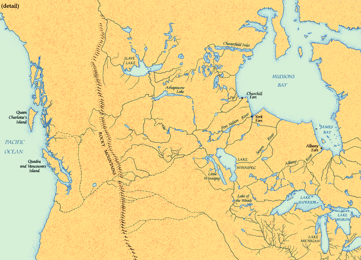
Arrowsmith map, 1795 |
|
This remarkable map, on which Arrowsmith incorporated information from HBC manuscript maps and journals, Mackenzie's explorations, and Vancouver's meticulous survey of the northwest coast, represents a huge advance in geographic understanding. Although innumerable details remained to be filled in, henceforth the general shape of northwestern North America south of the Arctic was known. |
|
Original map: British possessions in America. Arrowsmith, Aaron Lowry Cadell, T. Davies, W. Longman & Rees
Source: Library and Archives Canada/NMC 6972 |
|