Native Canada, ca 1820
Notes
Overview
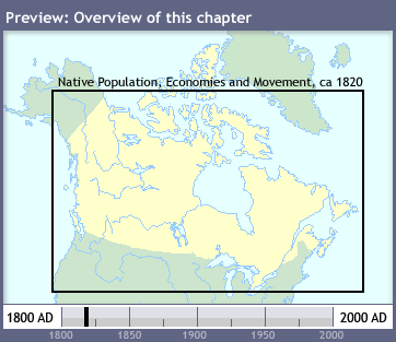
Unlike most chapters in this atlas, this chapter consists of only one map: Native Population,
Economies and Movement, ca 1820. This map takes a comprehensive look at the state of native
subsistence and commerce in the early 19th century. It largely paints a picture of the results
of a couple of centuries of contact with Europeans, and the decimation that resulted in the native
way of life in northern North America.
More 
Interactive Maps
More Resources